Approx. distance: ~150 km
Altitude range: 1,200 m → ~2,800 m → 1,400 m
Riding time: 5–6 hours (plus stops)
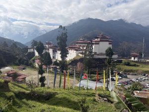
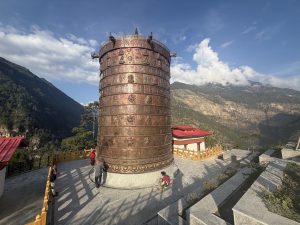
The day begins in the fertile Punakha Valley with a guided visit to the magnificent Punakha Dzong. Set dramatically at the confluence of the Pho Chhu (male river) and Mo Chhu (female river), this riverside fortress is one of Bhutan’s most important and beautiful landmarks — rich in history, symbolism, and spiritual significance.
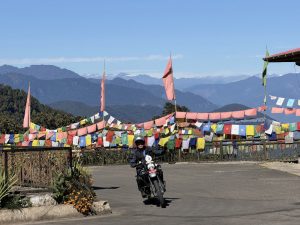
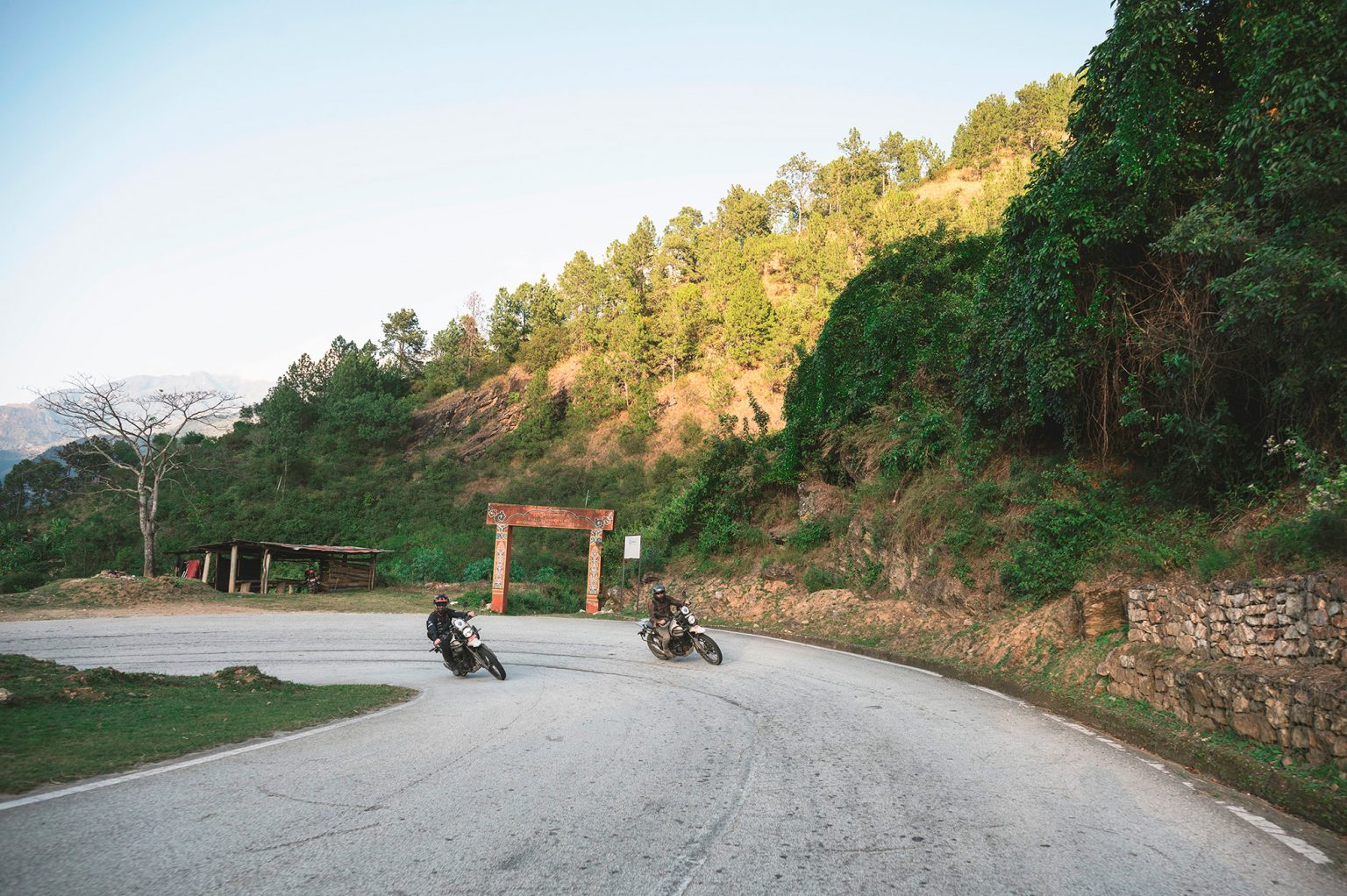
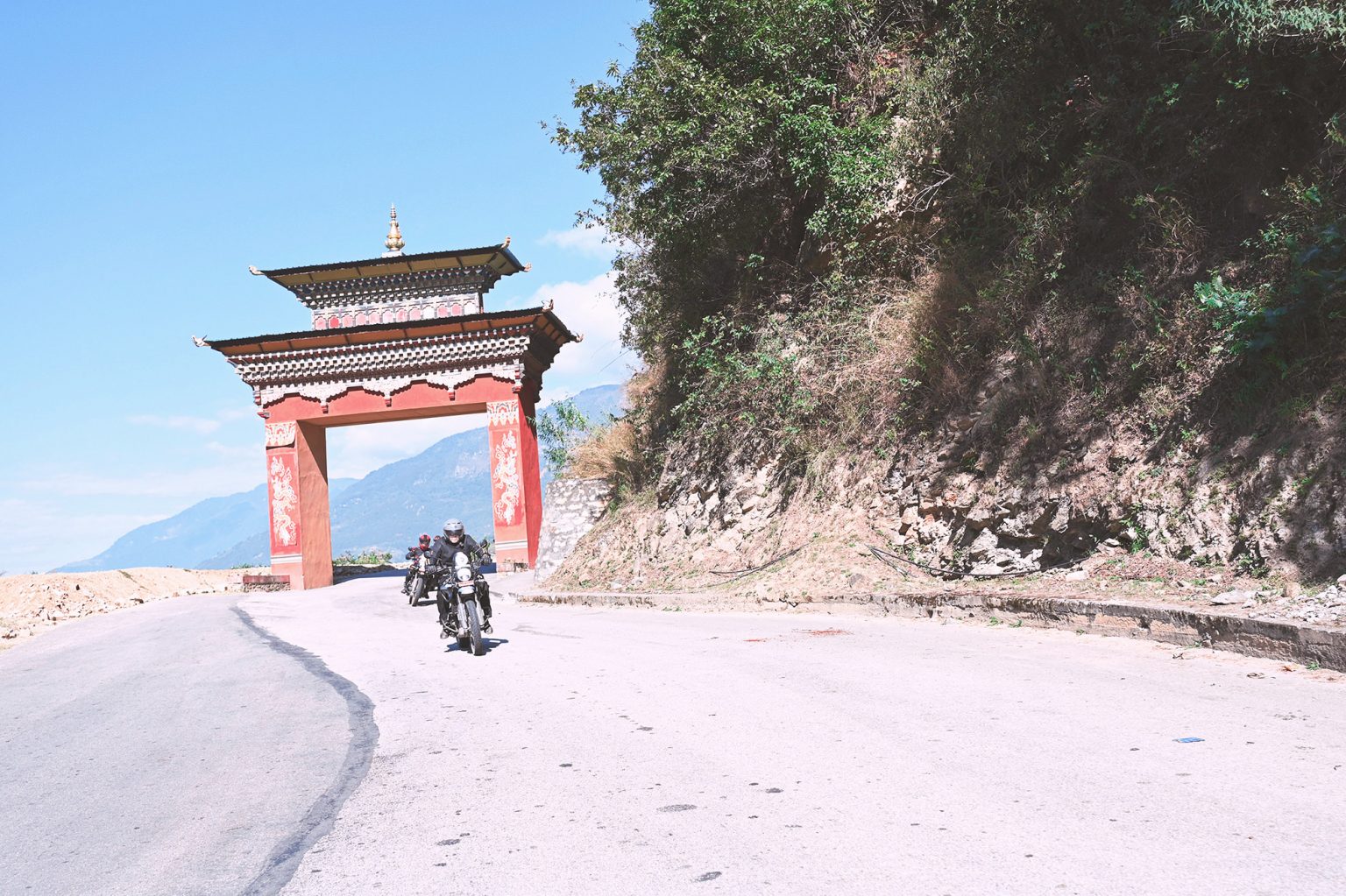
From Punakha, the route climbs gently toward Talo, one of Bhutan’s most picturesque highland villages, perched above the valley with wide views and traditional farmhouses.
Spring departure coincides with the Talo Festival , offering a rare opportunity to experience Bhutanese culture at its most vibrant. Autumn departures enjoy quieter roads, golden fields, and clear mountain views.
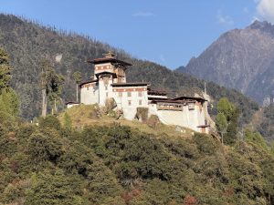
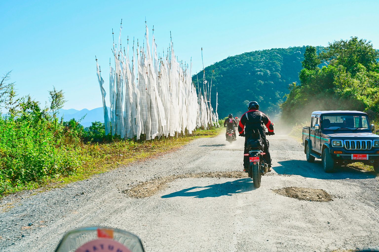
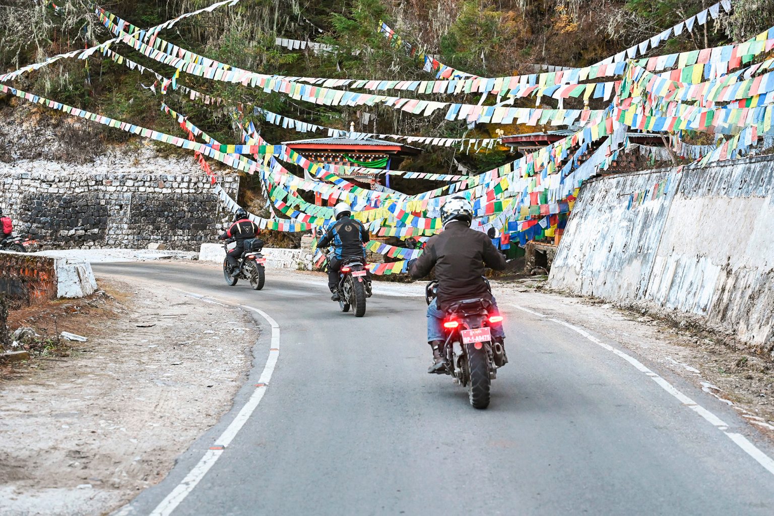
Leaving Talo, the road descends once more to the valley floor, reaching the bridge at Wangdi beneath the impressive Wangdue Phodrang Dzong, which historically guarded the route south toward India. From here, the ride follows the banks of the Pho Chhu and Mo Chhu as they merge into the Punatsangchhu, flowing along a beautiful riverside road that hugs the water before climbing high above it to cross the many torrents spilling down from the surrounding mountains.
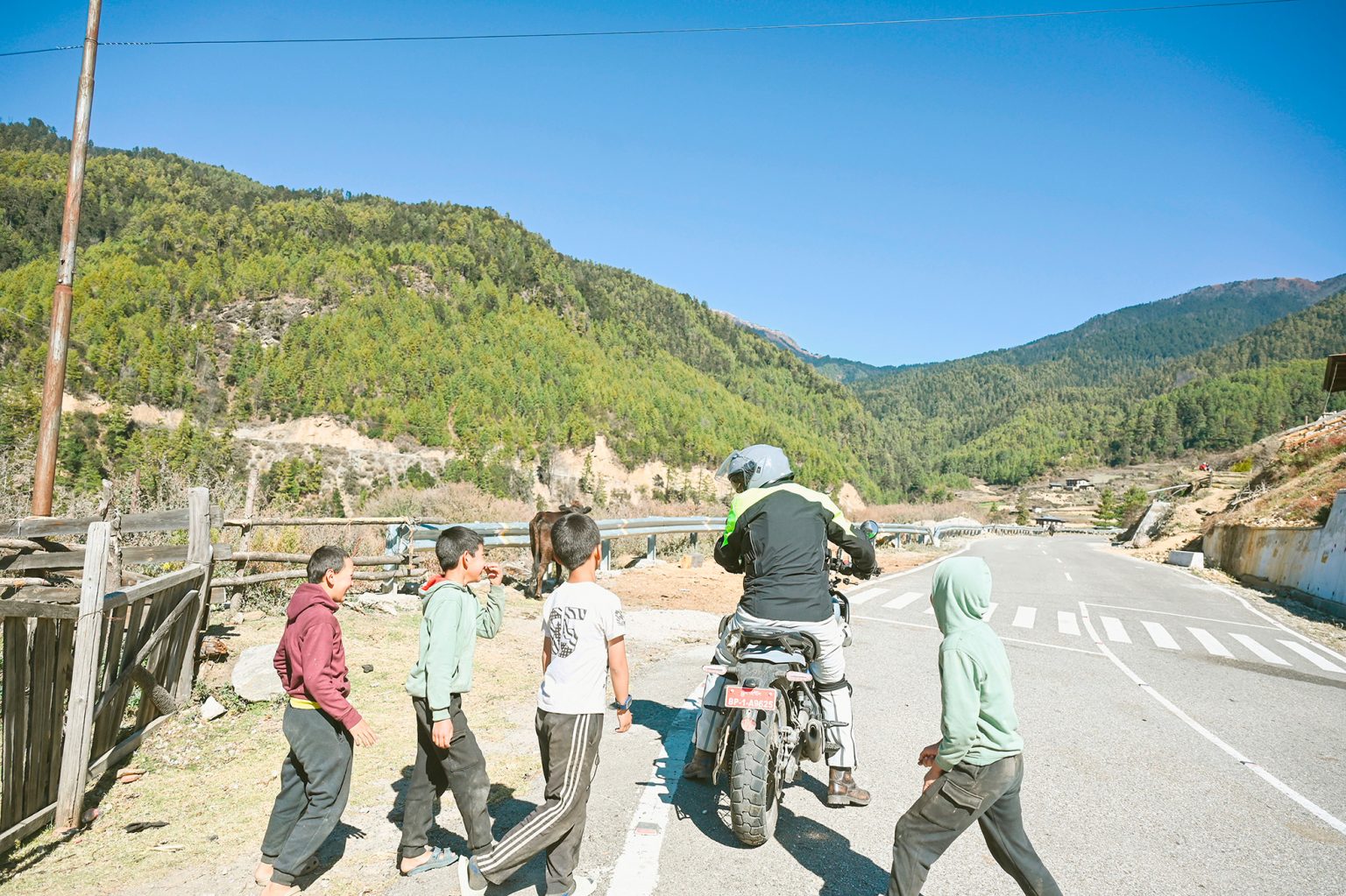
Lunch is taken at a stunning riverside spot — a relaxed and scenic pause amid nature — before the journey continues south into a more remote and lesser-visited part of Bhutan. The road climbs steadily through small settlements, untouched forests, and subtropical landscapes, with wildlife, warmer air, and lush vegetation accompanying the ride.
By late afternoon, arrive in Tsirang (1,400 m), a peaceful hill district known for its orange orchards, rice terraces, and rural charm. Settle in for the night, reflecting on a day that has carried you from sacred dzongs and highland villages to the green valleys of southern Bhutan — a true transition in landscape, climate, and culture.